Global Peatland Hotspot Atlas

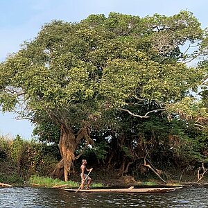
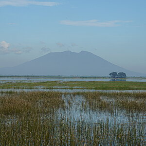
Building on the findings of the Global Peatlands Assessment (GPA), the Atlas reveals the status of global peatlands through a series of maps that highlight their distribution and features on a continental scale, identifying hotspots and illustrating the current threats to these ecosystems due to infrastructure, urbanization, resource extraction, land use, and climate change. It achieves this by intersecting the Global Peatland Map 2.0 with global, spatial datasets on land use, biodiversity, protection status, and climate change-intensified events such as peat fires and floods. The objectives are to high light peatland diversity across the globe and identify where current and future impacts could jeopardize ecosystem functionality, including the provision of essential ecosystem services, resilience towards climate change, water provision and purification, and biodiversity protection. Furthermore, the Atlas highlights the global potential for peatland protection, conservation, restoration, and sustainable management, while spotlighting regions of particular vulnerability for future planning and development.
The link has been copied to the clipboard


![[Translate to English:]](/fileadmin/_processed_/9/7/csm_20250515_peatlands_e081be19ff.jpg)