Illustrated Natural Asset Maps: A novel tool to communicate the importance of nature in cities
08/2021
|
Educational material
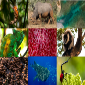
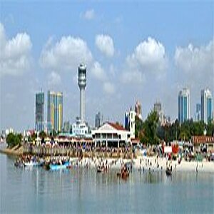
Illustrated Natural Asset Maps are powerful visual tools that simplify and communicate information about complex ecosystem structures, functions, and services. This case study focuses on Kochi’s innovative participatory approach to natural asset mapping. The city featured local and traditional knowledge to produce outputs that are not just visually stimulating, but which also help integrate biodiversity conservation into urban planning and enhance citizens’ environmental accountability.


![[Translate to English:]](/legacy/Bilder/2021/20210824_Belo-Horizonte-Green-Blue-Network_Thumb.jpg)
![[Translate to English:]](/legacy/Bilder/2021/20210824_Mapping-the-Campinas-Connectivity-Area_Thumb.jpg)